

- Alhama de Murcia
-
+info
- • Festivities
- • Services Guide
- • The Craft
- • Gastronomy
- • Restaurants & Bars
- • Tourist Office
- • Brochures
- • News
- • Links of interest
- • Restaurants outside the town
- • Bars
- • Pubs and Coffee Shops
- • Coffee Shops and Ice-Cream Shops
- • Celebrations Hall
- • Bars with leisure centres for children
- • Take away food
- • Camping
- • Rural hostels
- • Holiday homes
- • El Berro

.jpg "https://www.youtube.com/watch?v=0KQjV92SVmE")

-
Destacados


.jpg "http://turismo.alhamademurcia.es/en/horarios-autobuses.asp")

.jpg "https://turismo.alhamademurcia.es/en/services-guide.asp")


.jpg "http://www.fiestadelosmayos.es/")
Natural Park Sierra Espuña
“Sierra Espuña” Natural Park is one of the natural spaces of Murcia historically protected due to the natural values that it contains. It is located in the geographic centre of the Region of Murcia, surrounded by the towns of Alhama, Totana and Mula.
Sierra Espuña was protected in 1978 and it was requalifeid as a regional park in 1992. It is also protected as a Special Protection Area for Birds (SPA), and Site of Community Importance (SCI).
Its landscape is mainly dominated by the pine exemplary, thanks to the planting led by the engineer Ricardo Codorniú, Juan Ángel de Maradiaga y José Musso in the latter part of the nineteenth and early twentieth centuries. We also find the typical Mediterranean forest (kermes oak, mastic tree, juniper, black hawthorn, etc.).
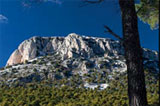
The savin juniper and the “nun seat” (padding-looking bush) are species able to grow under harsh environmental conditions, that predominate in the peaks, in a karst landscape. The main peaks “Morrón de Espuña” (1.583 m.) and “Morrón Chico” (1.444 m.) offer an excellent view to the entire mountain and surroundings.
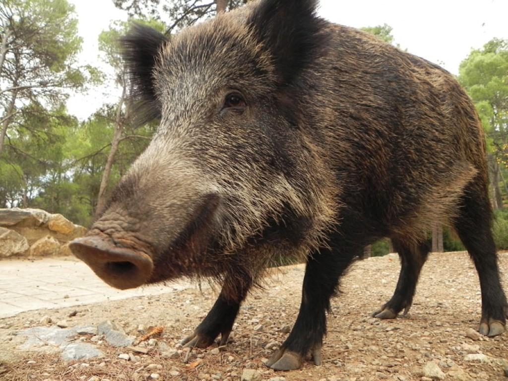
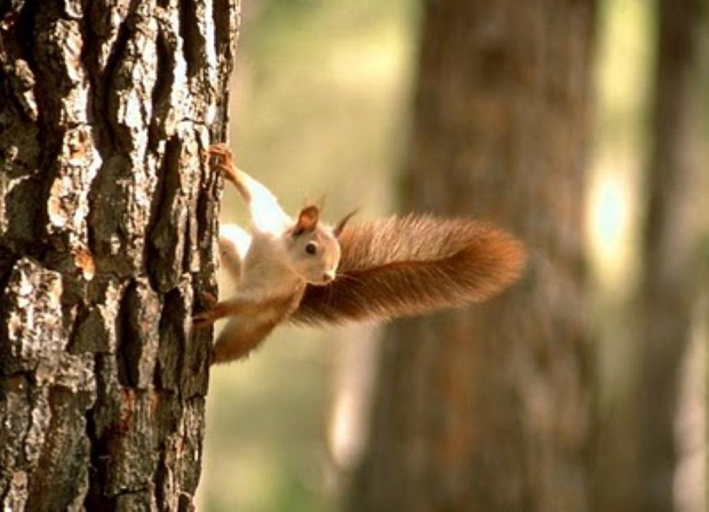
The fauna is rich and varied, it’s not hard to find squirrels, mouflons (wild sheep), wild boars or golden eagles.
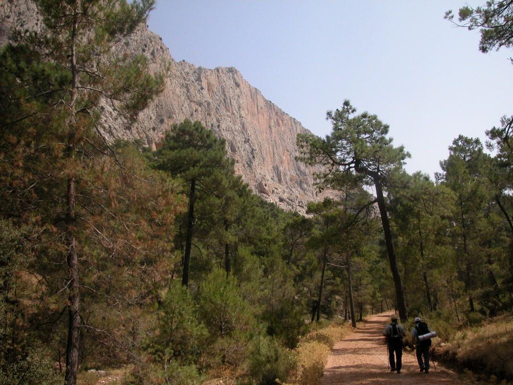
Espuña provides the tourist with the opportunity to combine leisure, sport, relaxation and culture. It includes routes for walking or cycling, places to eat and stay, and the “Pozos de la Nieve” (snow wells). Click on “Paths of Sierra Espuña” to see the marked routes in Sierra Espuña.
PLACES TO VISIT
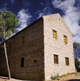 | “Ricardo Codorníu” Visitors Centre. An educative centre with a static exhibition about the flora and fauna of the park and public toilets. It’s also the starting point of some of the marked walking routes. Telephone: + 34 968 431 430
|
 | - Recreative Area “Fuente del Hilo”: parking area, restaurant, marked hiking trails, |
 | -Recreative Area “La Perdiz”: parking area, restaurant, marked hiking trails, camping area (for entities with a program of activities, with previous authorisation). |
 | -Collado Bermejo Viewpoint: located in one of the highest places of the Park. From there you can walk up to the “snow wells”. |
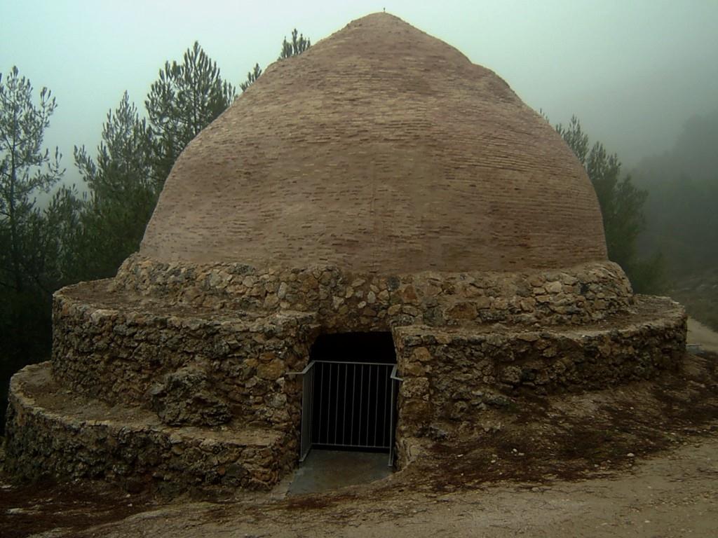 | -
Ice houses or snow Wells: From the 16th century until the invention of
refrigerators, these constructions were used to store and press snow and obtain
ice, which was transported to cities as far away as Murcia, Cartagena and
Orihuela. You can leave your car in the Collado Mangueta car park and turn left
onto the PR-MU 63 Sendero del Pedro López footpath to find two of the restored
Cartagena ice houses, one of which can be visited from the inside. And if from
the car park you walk into the valley for about 15 minutes along the PR-MU 57
Sendero del Valle de Leiva, you will come to the recently restored Pozos de
Murcia, two of which can be visited and whose restoration has been awarded the
European Heritage Prize. |
 | -Leiva Walls: Karst landscape and ideal area to practice climbing. |
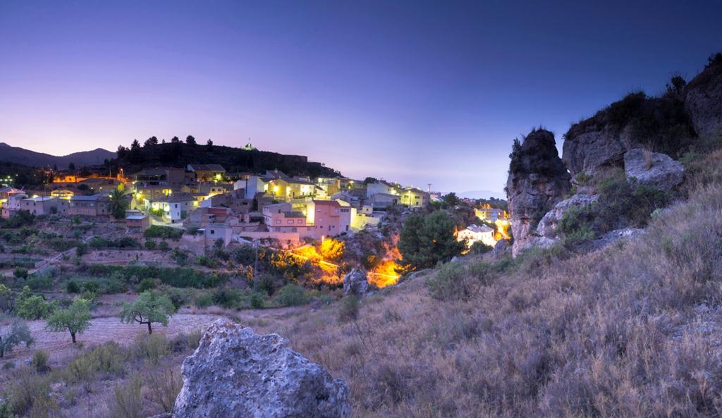 | -El Berro. High district of Alhama de Murcia. In this little village you will find food store, rural inn, camping, cottages, restaurants… The viewpoint of the Sacred Heart is worthy of a visit. |
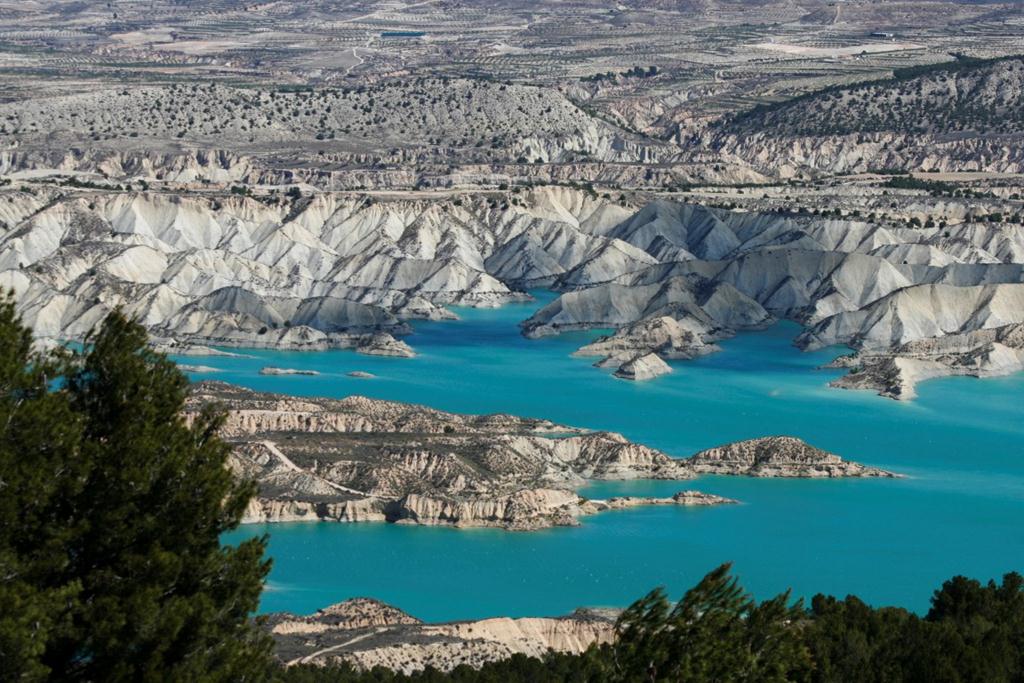 | -Gebas. Hamlet next to the Protected Landscape of Gebas (badlands). It also has rural houses, a rural inn and restaurants. Visit its viewpoint. |

Downloads :
 Marked Paths of Alhama de Murcia
-
Sierra Espuña Map and establishments certified with the European Charter on Sustainable Tourism
-
Rural Tourism in Sierra Espuña
Road map and tourist facilities of the associacion Espuña Turística. -
Espubike, MTB routes in Sierra Espuña
-
Manual de Buenas Prácticas del Parque Regional Sierra Espuña
-
Folleto Sierra Espuña 2016
Plaza de la Constitución, 10 Alhama de Murcia (Murcia)
Telf: 968 63 35 12 · Fax: 968 63 94 90
turismo@alhamademurcia.es
Diseño y programación: Avatar Internet S.L.L.


